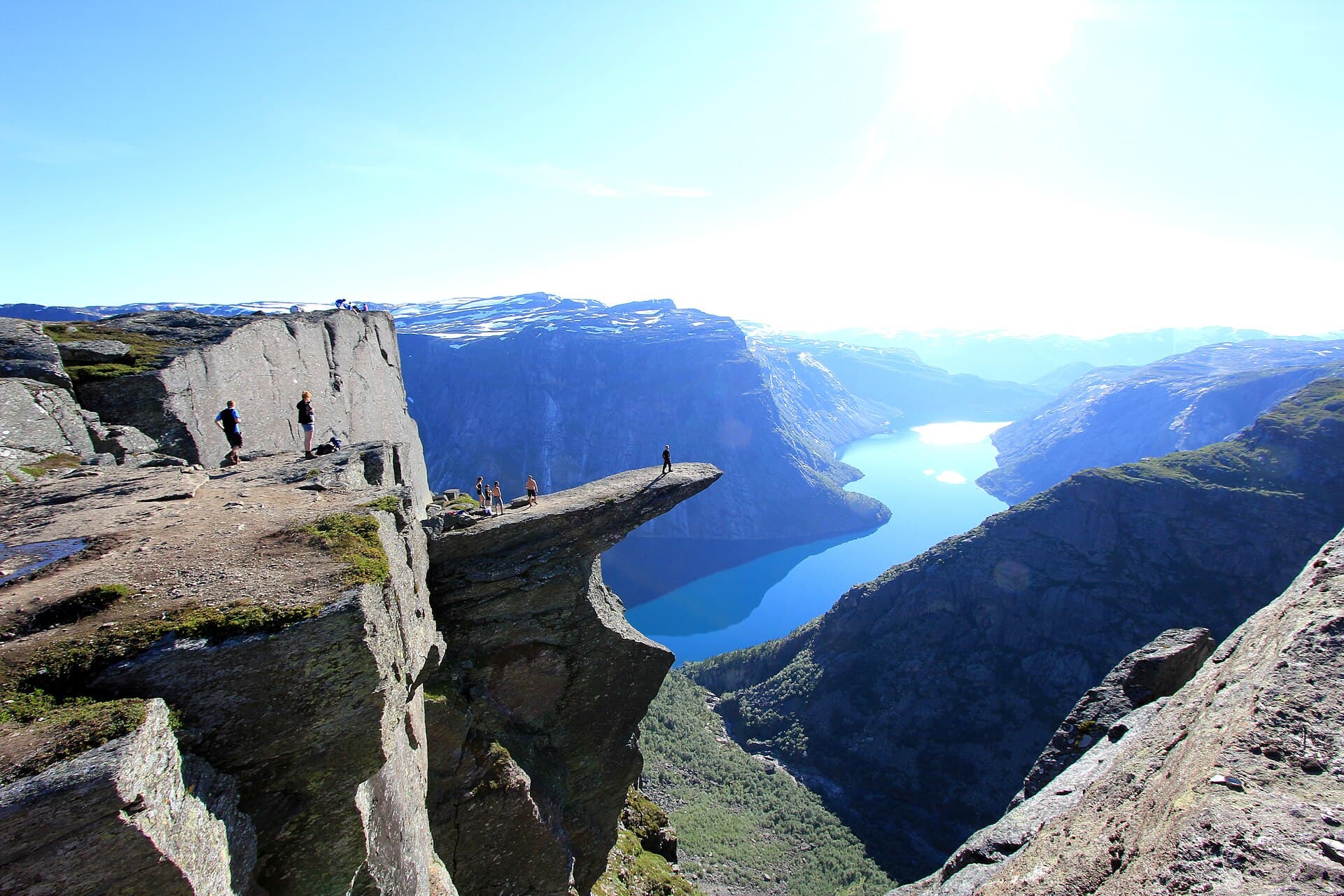
Photo: Diliff · CC BY-SA 3.0
TREKKINGDemo
Catalan Pyrenees GR11 Trek
Cap de Creus · Spain
Extreme45 daysEurope~£2,000 est.
Overview
The GR11 -- the Transpirenaica -- runs the whole Spanish flank of the Pyrenees: 820 kilometres from Cap de Creus on the Mediterranean, where you dip a boot in the sea, to Hondarribia on the Atlantic. In between lie roughly 40,000 metres of climbing through the range's finest country: the granite lake-basins of Aiguestortes i Estany de Sant Maurici, the glacier-hung Maladeta massif beneath Aneto (3,404 metres, the Pyrenean high point) and the vast limestone trench of Ordesa below Monte Perdido. Against France's GR10 it is drier, higher and emptier; against the border-hugging HRP it is waymarked and hut-served -- the thru-hike most people should actually choose. Refugis (book August ahead) mix with wild camps, so carry a light tent for the remoter stages around Andorra. July and August are the reliable snow-free window for the high cols; September is quieter but the days shorten fast. Allow six to seven weeks and roughly 2,000 pounds with hut half-boards; resupply comes every three or four days in valley villages.
Book This Trip
Plan Your Dates
Prefilled for 1 July 2027 — the next best-season window. Search on partner sites — opens in a new tab.